Navigation
Navigation: Keep Your Bearings Beyond the Main Road
On remote roads, navigation is less about the next turn and more about the next decision: where to refuel, when to turn back, and how to keep going when the screen goes dark.
Layers of navigation
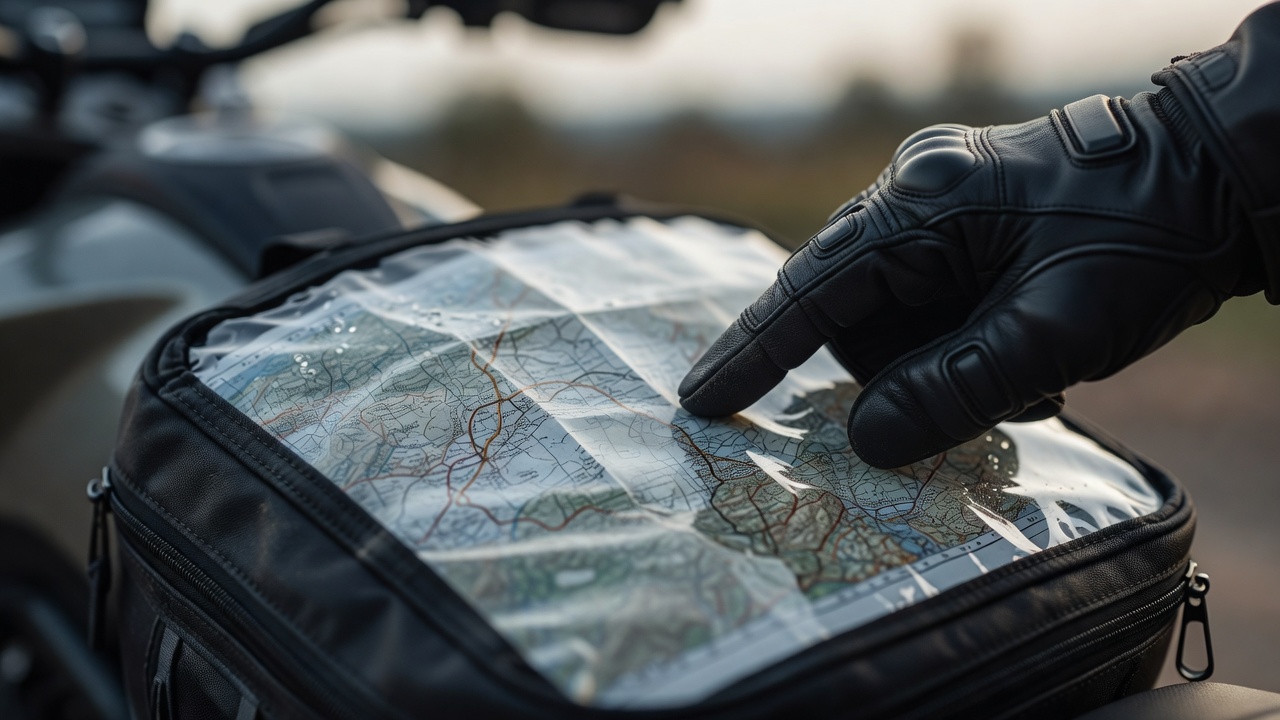
Reliable touring navigation uses layers, so that the failure of one does not end the day. The first layer is a dedicated motorcycle GPS or a phone in a weatherproof, vibration-damped mount. The second is offline maps downloaded on that phone before you leave Wi-Fi. The third is paper: a regional map and a handwritten card of the day's main towns and road numbers, slipped into the tank bag window.
Phone cameras can be damaged by sustained high-frequency vibration, which some manufacturers warn about specifically for motorcycle mounts. A damped mount or a dedicated GPS unit avoids that risk. Whatever you use, power it from the bike and carry a cable that works when wet.
Routes, tracks and GPX files
A GPX file can contain a route, a list of points the device calculates between, or a track, a fixed line of breadcrumbs. Routes are flexible but can be recalculated onto roads you did not intend, especially if device settings differ from those of the person who planned them. Tracks preserve the exact line, including the small scenic road the algorithm would avoid. For carefully planned scenic days, a track with a few waypoints for fuel and stops is usually the most faithful choice.
Turn off "fastest route" options for touring days, or the device will drag you back to the main road at every chance. Many units offer winding or scenic preferences; test them before relying on them in unfamiliar country.
Fuel range, honestly measured
Manufacturer range figures assume conditions that touring rarely matches. Headwinds, altitude, heavy luggage, a passenger and steady climbing all cut range. Measure your own: fill to the brim, ride a typical loaded day, refill and divide. Then treat about three quarters of that real figure as usable, keeping the reserve for genuine surprises such as a closed station or a detour.
In remote regions, opening hours matter as much as distance. Rural pumps may close at lunchtime, on Sundays or for the season, and some accept only local cards. On Alaska's Dalton Highway the gap between Coldfoot and Deadhorse is about 240 miles; in parts of Patagonia on Ruta 40 stations can run dry. Many riders carry a spare fuel container for such stretches, secured outside the luggage and away from heat.
Refuel at the last reliable pump, even with half a tank. Remote roads punish optimism.— Navigation note
Decision points through the day
Before a gap in services
Fuel, water and food. Check the weather at the far end, not just where you are standing.
At the foot of a pass
Look at the cloud and the clock. If the summit is hidden and the afternoon is late, the valley road is a good road too.
At the midday stop
Set a latest departure time. If you leave after it, take the shorter option to tonight's bed.
When signal disappears
Note your last known position and road number. Continue only on the planned road; improvising without maps or signal is how small detours become long evenings.
When things go wrong
If you are lost, stop somewhere safe and visible rather than turning around repeatedly. Use the paper map to find a road number, a river or a town name you recognise. Ask locally: fuel attendants and café owners know which roads are closed, washed out or worth the detour. In very remote areas, a satellite messenger or personal locator beacon provides a way to call for help where there is no mobile coverage at all, and lets someone at home follow your progress.